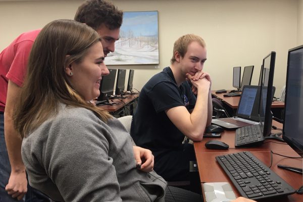
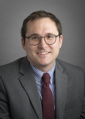
Students in Cornell College’s Geographical Information System (GIS) course examine colorful maps and data sets from their computer monitors as Assistant Professor of Geology Drew Muscente answers questions. “The students are essentially learning how to analyze geospatial data and to visualize it–creating maps on the computer,” Muscente said. They’re working on a project to map out data, such as the elk population and the distribution of people, for the state of Idaho. It’s a geology course, but Muscente said students from many majors benefit from this course. Students studying geology, archaeology, computer science, and physics are all taking the course. “This is the method I use in my research all the time, and many researchers in different fields also use it,” Muscente said. “It comes in use in many different occupations.” This is the first time geology major senior Joby Read has learned GIS, and he’s already looking forward to how he’ll put it to use. He aspires to have a career researching minerals using seismographic data. “I can use GIS to do that because I would gather all the data from a machine, input it into GIS, and make a map out of what I collected,” Read said. Drew MuscenteThis course uses software known as ArcGIS to create the maps, but Muscente points out that there are many types of geographical information systems. In fact, just about everyone uses GIS in their daily lives. “Phones are GIS hardware devices,” Muscente said. “They all have GPS now and do these analyses that help us get around, which is what GIS was developed for 30 years ago.”
Whether it’s using the GPS on their phone or finishing an assignment to plot the elk population of Idaho, understanding how to think spatially and visualize data will help students as they map out their futures. “I want to prepare them for their future whatever it may be,” Muscente said. “Not to simply teach them one software package but to help them learn to teach themselves a variety of geographical information systems.” Cornell welcomed Muscente as a new faculty member this year, and the professor plans to offer the GIS course every year.